Google Earth AI
Description
🖼️ Tool Name:
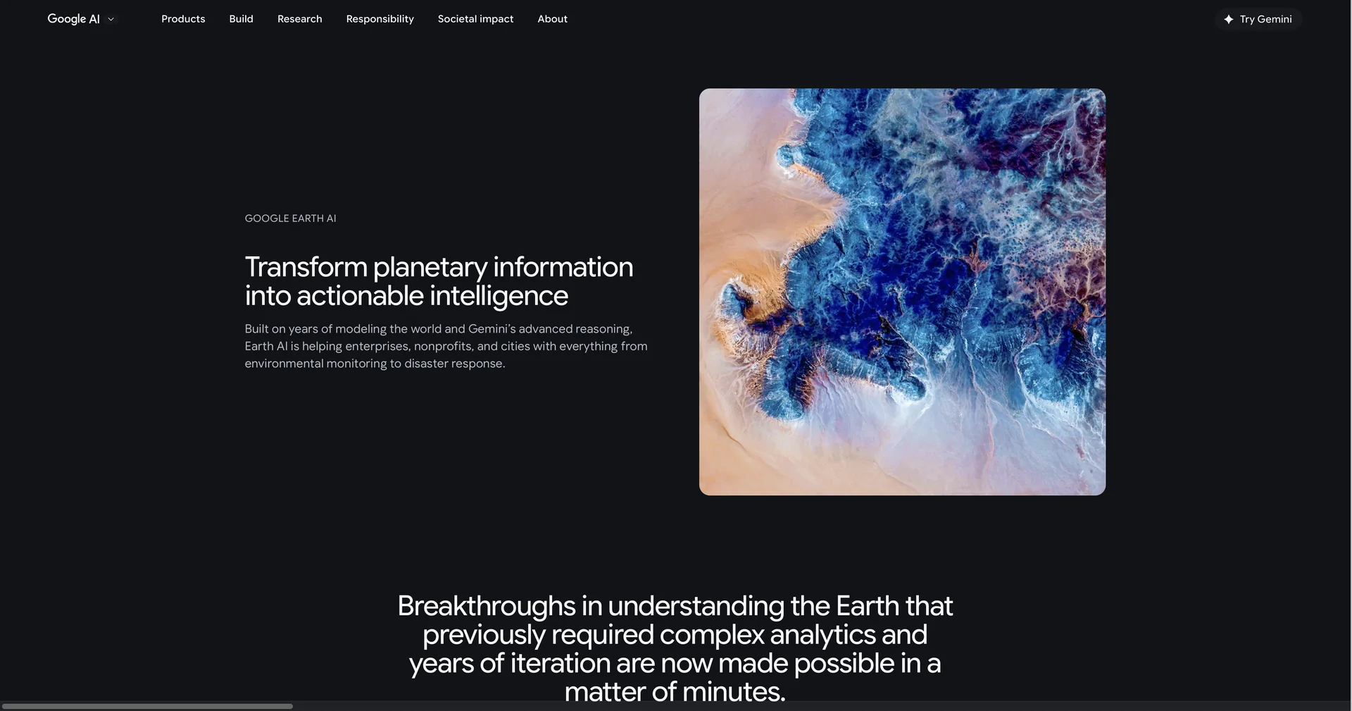
Google Earth AI
✏️ Overview & Key AI Features (2026 Edition):
Geospatial Reasoning Agent: The standout feature for 2026. You can give natural language commands like "Map all utility poles and fire hydrants in this 10-block radius." The AI parses Street View and satellite imagery to identify assets instantly without manual field work.
AlphaEarth Foundations: Developed by Google DeepMind, this model "sees through" cloud cover to detail agricultural and construction progress. It summarizes 10x10 meter squares of the Earth using 16x less storage than previous systems, making planetary-scale analysis affordable.
High-Fidelity Elevation Contours: An experimental feature launched in early 2026 providing 1-meter contour intervals for precise site suitability assessments in construction and civil engineering.
AI-Powered Data Layers: Professional plans now include unique data like Tree Canopy Coverage, Rooftop Reflectivity, and Electric Vehicle (EV) Charging Density, updated automatically by AI research models.
Cross-Modal Reasoning: Combines Imagery, Population, and Environment models. For example, it can correlate population density with flood risk to suggest the most effective locations for new disaster shelters.
Grounding with Google Maps: For developers, this allows generative AI applications to be "grounded" in real-world location data, ensuring that an AI-generated travel itinerary or real estate summary is factually accurate.
⭐️ User Experience (2026):
"Days to Minutes": Rated 4.9/5 by urban planners. It is praised for reducing the time spent on manual data gathering and preparation from weeks to a single coffee break.
Intuitive Interaction: Even non-technical users can perform complex spatial analysis through the "You Ask, The Earth Answers" chat interface.
💵 Pricing & Plans (March 2026 Status):
Google Earth has transitioned into a tiered professional service under the Google Maps Platform.
🎁 How to Get Started:
Visit For advanced work, we recommend launching Google Earth Pro on desktop or exploring the Try the query: "Identify all schools within a flood zone in my county"to see the reasoning agent in action.
⚙️ Access or Source:
Official Hub
Developer Tools
Category: Geospatial Intelligence, Urban Planning, Climate Tech.
Primary Use Case: Transforming raw satellite and street-level imagery into structured, actionable intelligence for business, government, and sustainability.
🔗 Experience Link:
https://ai.google/earth-ai/