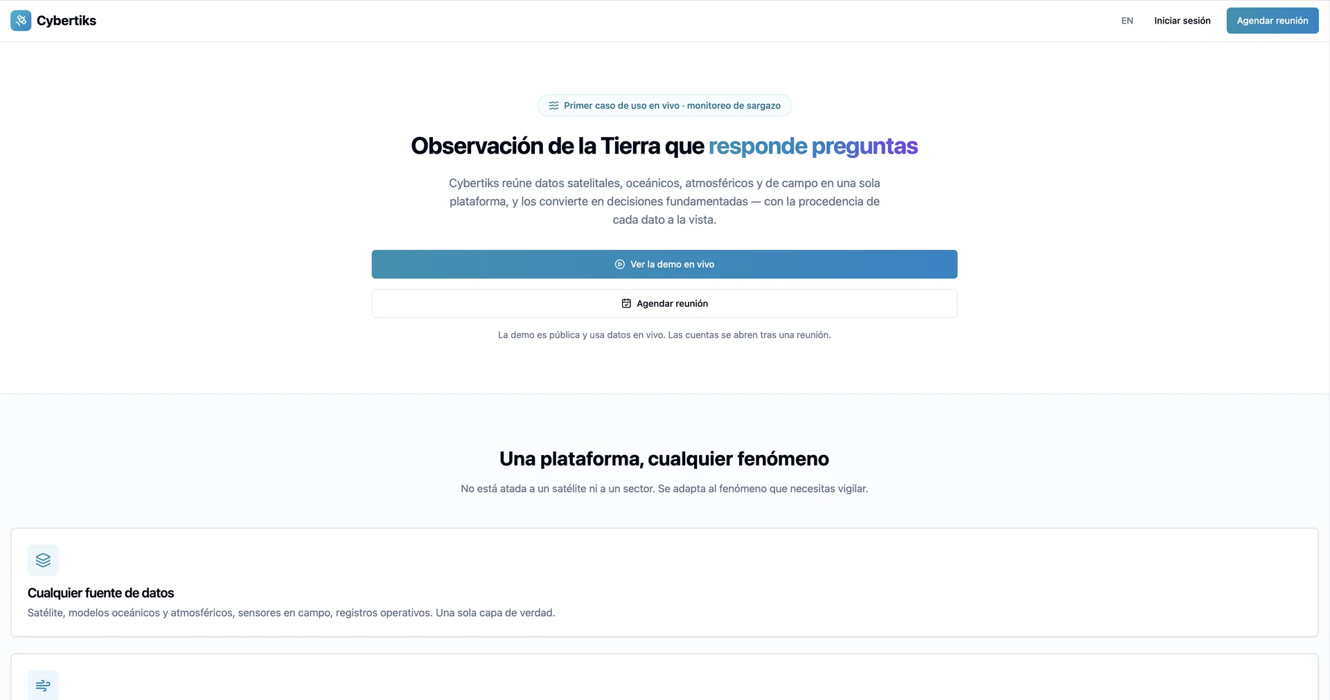
Cybertiks
An AI-powered geospatial and Earth observation platform that combines satellite, drone, atmospheric, and remote-sensing data to deliver precise agricultural intelligence.
Last updated
Features
- 🛰️ Satellite Data Ingestion: Leverages high-resolution satellite imagery and remote sensing to monitor crop health and field conditions in real time.
- 🌾 Agricultural Intelligence Analytics: Automatically processes multispectral data to provide actionable insights for crop management and yield optimization.
- 🌐 Web-Based Field Monitoring: Offers a streamlined digital dashboard for tracking seasonal trends, soil metrics, and environmental changes.
- ⚙️ Bespoke SaaS & API Integration: Delivers customizable frontend and backend analytics architectures for data-driven agricultural decision-making.
Pricing Details
💰 Price Details :
Available through customized business subscription plans and bespoke enterprise software packages upon request.
Related Tips
- Head-to-head comparison: Relativity or Leya Law? · Business Operations, Data & Analytics…
- Between writing 10 pages manually... or uploading a single file to Turboscribe.ai? · Video Generation & Editing, Social Templates & Auto-Editing…
- Imagine... every word spoken is recorded and turned into an instantly organized text! · Social Templates & Auto-Editing, Tasks & Projects…