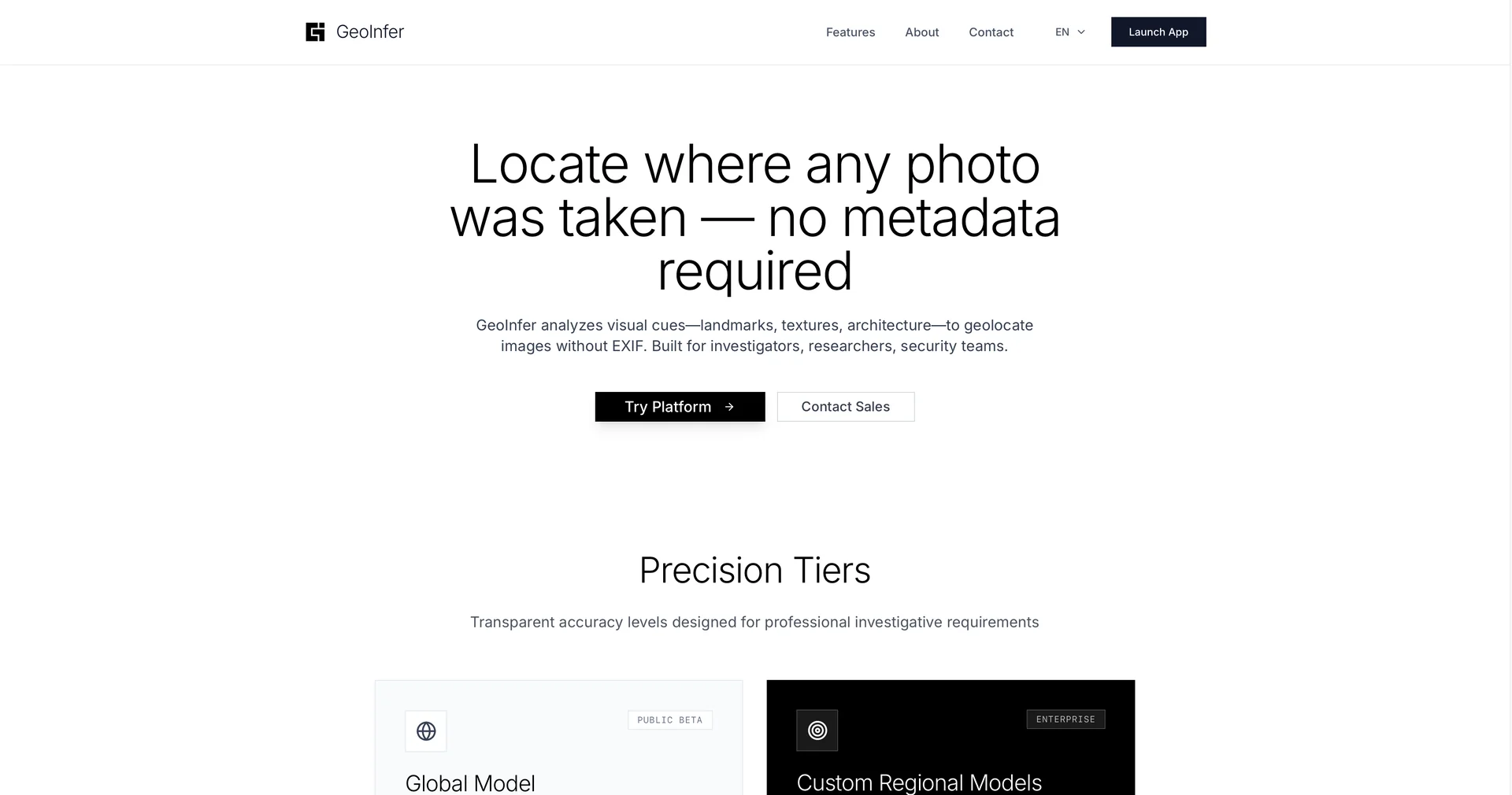
Features
- Locates where a photo was taken without metadata
- Identifies vegetation, terrain, soil and utility pole designs
- Sub-kilometer precision in dense urban areas
- Distinguishes similar-looking climates in different regions
- Batch analysis of hundreds of images
- Global database covering remote areas without Street View
- API for OSINT platforms and evidence management systems
Pricing Details
💵 Pricing (February 2026 Status) GeoInfer operates on a professional-tier pricing model to support its massive computational requirements: Plan Price (Approx.) Key Features Free / Trial $0 Very limited single-image lookups; Standard accuracy; Web access only. Investigator (Individual) ~$50 / mo Metadata-agnostic geolocation; Priority rendering; Standard API access. Enterprise / Pro ~$500 / mo Batch analysis; Sub-kilometer urban precision; Dedicated support; Custom training. Pay-per-Image ~$0.06 / image Ideal for occasional users or small firms needing high-accuracy results on demand. 🎁 Free Access: GeoInfer typically offers a Free Version or a Free Trial for verified educational or journalistic use, allowing a few high-accuracy lookups to demonstrate its capabilities before requiring a subscription.