FlyPix AI
Features
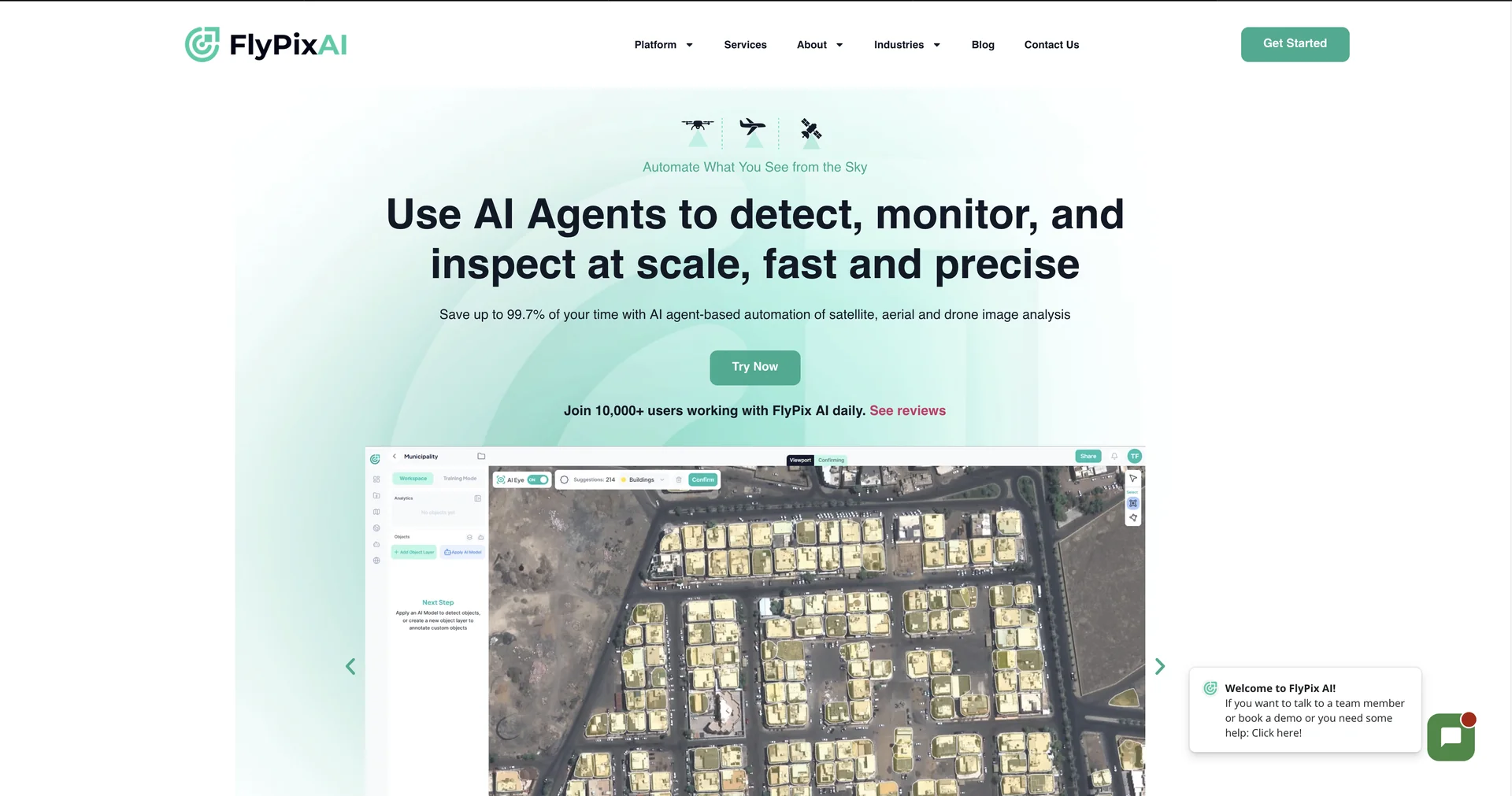
- Detects objects in satellite, aerial and drone imagery
- Trains custom detection models without code from a few labeled images
- Supports RGB, multispectral, hyperspectral, LiDAR and SAR data
- Tracks changes and anomalies over time
- Creates analytics dashboards and heatmaps
- Exports vector layers to GIS tools such as ArcGIS
- Publishes interactive maps with access controls
Pricing Details
💰 Pricing Model Item Details: Commercial B2B/B2C freemium SaaS model based on data storage capacity and a credit-based processing system. General Concept: 1 processing credit applies to exactly 20 megapixels (MP) of geospatial imagery.Subscriptions are divided into monthly flat rates that dictate active seat caps, credit allowances, and feature access. 🆓 Free Plan Details / Free Trial Feature: Proof-of-Concept Baseline Track & Free Trial. Details: Unlocks a platform evaluation sandbox supporting 1 user seat, 3 GB of cloud data storage, and 10 credits per month (good for processing up to 200 MP of imagery) to test baseline platform functions and model capability. Cost: Free ($0 open entry testing framework). 💳 Paid Subscriptions (Official 2026 Standards) All tiers unlock custom AI model training and base object-prediction tools, with higher plans scaling system integration boundaries: Operational Plan Cost Structure Processing Capacity, Storage Limits & Core Features 🌱 Starter Plan €50.00 / month(~$55.00 USD) Built for independent analysts and small sites. Includes 1 user seat, 10 GB of cloud storage, and 50 credits per month (handles up to 1,000 MP of geospatial imagery).Unlocks vector layer exporting. 🚀 Standard Plan €500.00 / month(~$545.00 USD) Tailored for mid-market teams. Includes 2 user seats, 120 GB of cloud storage, and 500 credits per month (10,000 MP imagery capacity). Unlocks multispectral data support, team collaboration tools, and custom analytics dashboards. 💼 Professional €2,000.00 / month(~$2,180.00 USD) Engineered for advanced enterprise operations. Includes 5 user seats, 600 GB of cloud storage, and 2,000 credits per month (40,000 MP imagery capacity). Unlocks full API access and complete system white-labeling capabilities. 🛡️ Enterprise Suite Custom Quote Required Designed for global infrastructure networks and government departments. Unlocks unthrottled storage and credit tiers, custom deployment environments (including private or on-prem options), priority SLAs, and direct quality assurance checking with dedicated GIS experts.