Features
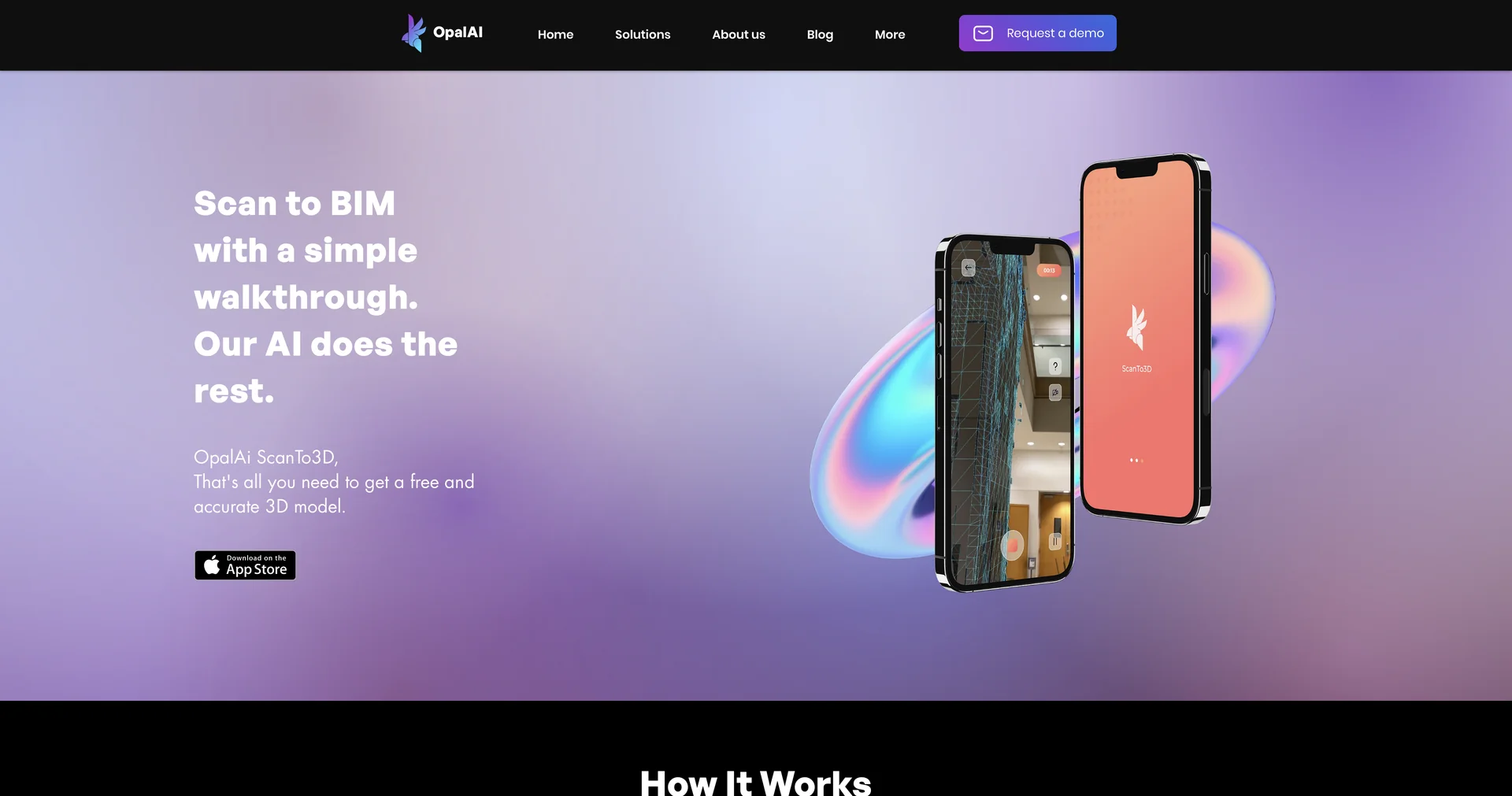
- Turns a video walkthrough of a space into 2D floor plans, 3D CAD models and digital twins
- Removes furniture, clutter and moving objects from scans automatically
- Delivers sub-inch accuracy in minutes
- Converts point clouds, LiDAR files and 360° recordings into BIM models
- Exports to AutoCAD, Revit, Rhino and SketchUp
- Tracks wildfires and fire risk from satellite and SAR data
- Detects potholes and pavement degradation from city-wide video audits
- Assesses damage in insurance claims footage with vision language models
Pricing Details
💰 Pricing Model Item Details: Commercial usage-based B2B SaaS platform structured around custom project scopes, total scanned square footage tiers, and desired output engineering formats. General Concept: The baseline mobile scanning app operates on a flexible, accessible per-project layout rate starting as low as fractions of a cent for flat processing evaluation baselines. Large-scale infrastructure mapping, Scan-to-BIM rendering files, and specialized satellite analytics tracks are structured under customized corporate contracts. 🆓 Free Plan Details Feature: Complimentary Mobile Sandbox Access & Project Free Trial. Details: The mobile app client can be downloaded freely from the Apple App Store to test the base capturing workspace. Furthermore, enterprise teams can coordinate directly with product managers to request custom backend demos and trial spatial evaluations. Cost: Free ($0 to download and experiment with baseline scans). 💳 Paid Plans (Official 2026 Standards) Because spatial data parameters differ heavily by project size and architectural scope, professional tiers scale dynamically across targeted project capacities: Execution Tier Price Structure Focus, Data Formats & Core Deliverables 🌱 Basic Scan Track Usage-Based / Pay-As-You-Go Built for localized real estate and standard interior layouts under 3,000 sq. ft. Includes base interior video processing, high-fidelity PDF floor plan prints, ceiling height indicators, room labeling, and structural GLA calculations. 🚀 Professional Architecture Suite Tiered Project Licensing Optimized for commercial spaces and active construction environments. Unlocks complete interior and exterior structural cross-scanning, point cloud processing, and native exports directly into AutoCAD, Revit, Rhino, or SketchUp. 🏢 Enterprise Spatial Platform Custom Commercial SLA Custom configurations for city infrastructure management, insurance adjustment platforms, or utility agencies. Grants unthrottled access to private enterprise APIs, custom VLM training pipelines, and dedicated multi-user support gates.